Trails
The Brick Yard Point Interpretive Trail is a network of four interconnecting loops totaling just under two miles. Seven interpretive areas located throughout the trail network are available for self-guided viewing. Below you will find a summary of each trail section. Be sure to click on each interpretive area to view the educational themes. Download the trail brochure here.
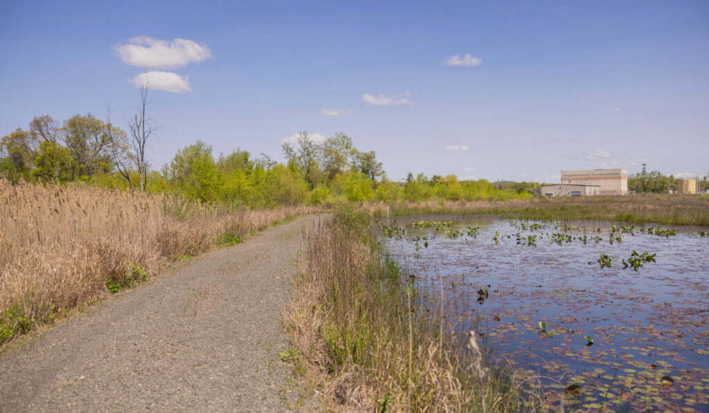
The Blue Trail starts at the Welcome Kiosk and continues around a generally flat 1/3-mile loop featuring newly restored freshwater wetlands and views of the North Creek. Walking counter-clockwise from the kiosk, the first interpretive area will be on your right. Visitors can learn about the varied plant colonies and critters found along, within and around Freshwater Wetlands. You may be greeted by the sounds of green frogs or observe eastern painted turtles perched along the water’s edge.
The 1/2-mile Yellow Trail begins at the Freshwater Wetlands learning center, travels over a small bridge and around the low meadow. Along the eastern boundary of the trail are unique views of the Quinnipiac River and the Tidal Marsh interpretive area. The mud flats and nutrient rich brackish waters here attract an assortment of birds such as egrets, herons and cormorants. Climb the steep incline to the North Overlook for a clear view of the property and to spot one of the many species of raptors who frequent the area.
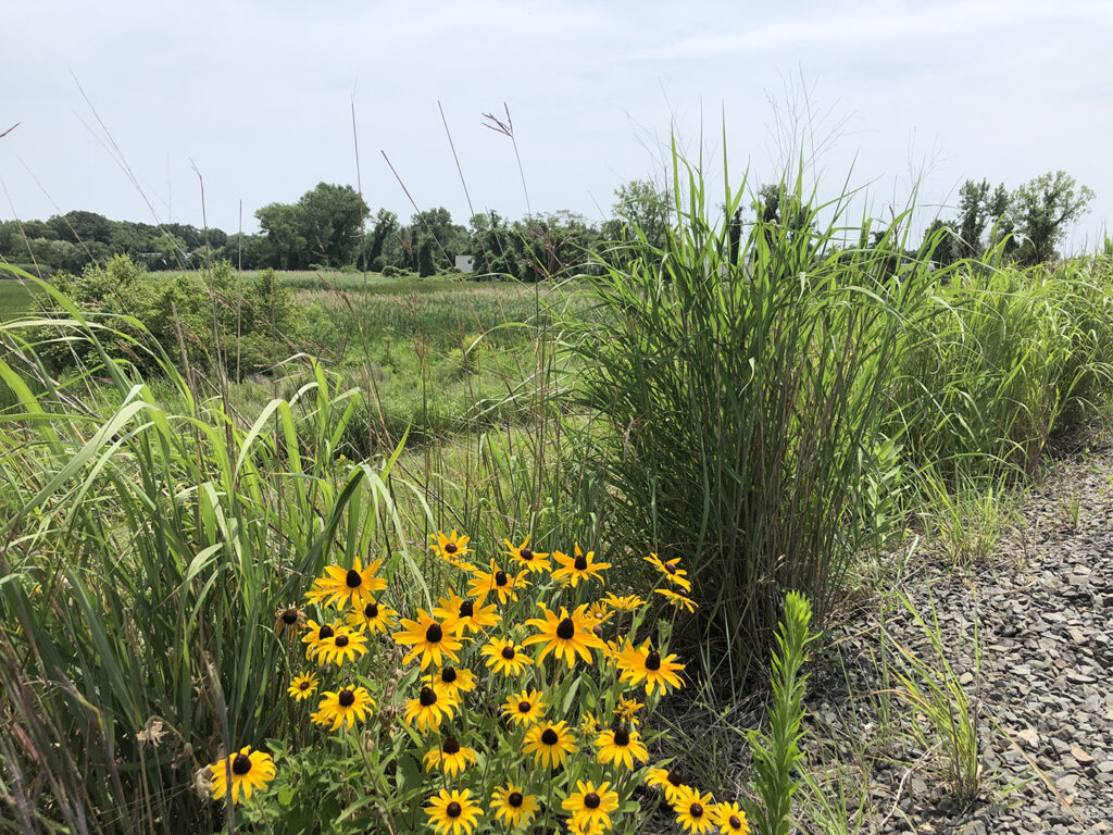
At just over 1/2-mile, the gently sloping Green Trail is the longest loop in the network and features three diverse interpretive areas. The Upland Meadow habitat is an imperiled ecosystem in many areas along the Quinnipiac which may be why so many song birds, bees and butterflies have congregated here. The South Overlook provides an exceptional view of the Quinnipiac River region. Stop at the South Creek pavilion to learn about the diverse wildlife found in estuaries where rivers and oceans meet.
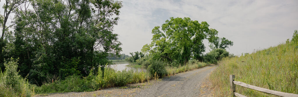
The Red Trail circles the southern portion of the property, offering a very different perspective. This half-mile path follows South Creek as it flows out to the Quinnipiac River. Along the way, visitors will pass freshwater wetlands, a tidal marsh and the South Creek estuary. There’s so much more to see when you walk within nature.

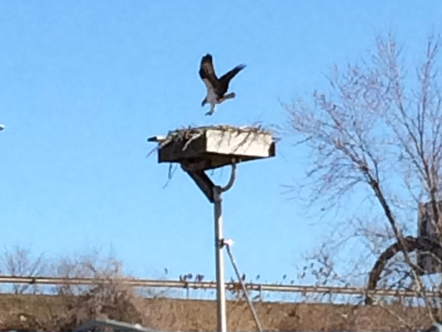
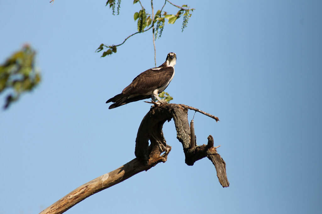
Since 2006, a pair of osprey has nested on the property, laying eggs and raising multiple offspring. This web cam, which runs continuously while the osprey are onsite, provides unique views of the bird perch. By protecting their habitat, we hope that the pair will continue to return each year.